Antarctica’s geography reveals its ancient origins and hints toward the continent’s future
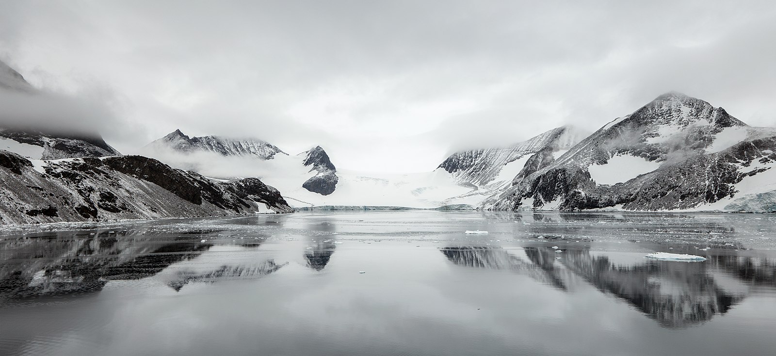
Featured image caption: A new discovery finds remnants of flat coastal floodplains in Antarctica’s geology. These flat areas on the edge of the eastern ice sheet could help slow the rate of ice loss on the continent. (Source: Hope Bay 2016 Trinity Peninsula Depot Glacier by Andrew Shiva via Wikimedia Commons, CC BY-SA 4.0)
Source article: Paxman, G.J.G., Jamieson, S.S.R., Ross, N. et al. Extensive fluvial surfaces at the East Antarctic margin have modulated ice-sheet evolution. Nat. Geosci. (2025). https://doi.org/10.1038/s41561-025-01734-z

A buried coastal plain beneath East Antarctica reveals secrets of the past – and hints toward the future of a thawing continent. In a new study published in Nature Geoscience, scientists uncover the ancient history of the hidden landscape beneath the eastern Antarctic Ice Sheet.
The ice on the eastern edge of Antarctica has been thinning since the 1970s. If the East Antarctic Ice Sheet were to melt entirely, it could raise global sea levels by a staggering 170 feet (52 meters) – and while that outcome would be extreme, understanding how and where this ice might melt is crucial to preparing for a warmer future.
This study offers a new perspective on the ice sheet; it’s not just a slab of frozen water, but a dynamic system shaped by the land beneath it. To detect the lay of the land, researchers used radio-echo sounding (RES), a form of radar that sends pulses through the ice and records echoes from the bedrock below. These echoes reveal the shape, slope, and texture of the land buried beneath thousands of feet of ice.
The research team, led by polar geophysicist and Dr. Guy Paxman of Durham University, compiled data from four major RES surveys conducted between 2005 and 2019 spanning East Antarctica’s coast from 70°E to 160°E. Each mission (WISE-ISODYN, ICECAP, CHINARE, and NASA’s Operation IceBridge) added crucial pieces to the puzzle of Antarctica’s subglacial topography.

Deep Freeze: Uncovering an ancient world below ice
The ice sheet covering Antarctica is a frozen-in-time record of an ancient continent. The collective surveys paint a picture of a buried coastal plain, likely formed by river systems and low-lying basins around 80-160 million years ago when Antarctica was still part of the supercontinent Gondwana. Around 34 million years ago, Antarctica’s climate cooled and the ice sheet began forming, freezing over the floodplains and carving deep glacial valleys into the landscape.
Today, about 40% of the coastal area surveyed along East Antarctica contains remnants of these flat floodplains. Most of these areas are situated along the edge and covered with ice only 500-1500 meters thick, with some flat areas farther inland under 2500 meters of ice. These gently sloping plains have gradients of less than 0.8° pointing toward the ocean, suggesting they could be relics of ancient floodplains or deltas preserved by the insulating blanket of the ice sheet.
Interestingly, these features still bear fresh signs of their past: glacier gouges under the ice reach depths of 80–210 meters – deeper than similar features exposed on land which have weathered over time. Under the ice sheet, these glacier marks are preserved just as they were when they were formed.
A Glacial Pace: Underlying geography could influence melting speeds
The shape of Antarctica’s land influenced how the ice sheet originally formed, but also gives us clues to predict how the ice will flow, melt, and break apart. Steep, deeply carved valleys like those under the Totten, Denman, and Mertz glaciers act like chutes for faster movement of glaciers and their melting rivers. These areas are already flowing quickly and are more prone to instability.
In contrast, flat coastal plains are not as steeply sloped as other underlying topography. These smoother, less steep zones may act as “brakes” on retreating ice, slowing water flow and forming domes of stable ice (called ice rises) surrounded by ocean. Ice rises can buffer the mainland ice sheet against warmer seawater and help prevent ice shelf shrinking. One example already exists near the survey locations: the Law Dome is a large ice dome on the East Antarctica Ice Sheet bordered by glaciers, and likely stands tall because of the topography of its underlying island land mass.

This good news of a slower melting should be approached with cautious optimism. While flat plains might offer some protection, the situation remains precarious. Warming temperatures, ocean currents, and the physical properties of the ice all play a role in shaping Antarctica’s future. Discoveries like this help us create better predictions for how ice loss and sea level rise will progress so we can make more informed decisions when it comes to mitigating damage from global temperature rises. Still, this study provides a rare look beneath the ice, giving scientists better tools to model future melt scenarios – and this geological piece of the puzzle is just the tip of the iceberg.
Reviewed by Cypress Novick

.jpg)