More Accessible Monitoring: Using Freely-Available Aerial Photos and Software to Map Changes in River Migration and Vegetation
Article: Pu, G., Quackenbush, L.J., & Stehman, S.V. (2021). Using Google Earth Engine to Assess Temporal and Spatial Changes in River Geomorphology and Riparian Vegetation. Journal of the American Water Resources Association, JAWR-20-0037-P. https://doi.org/10.1111/1752-1688.12950
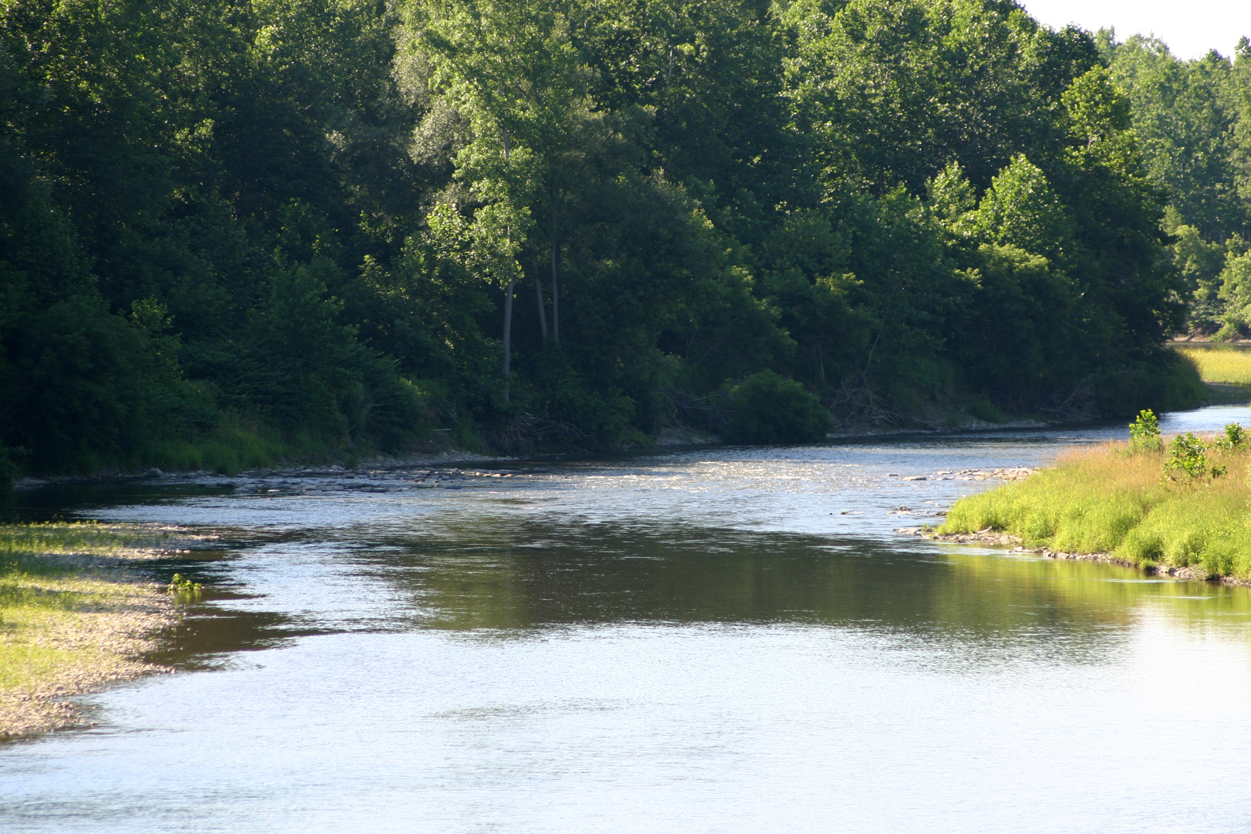
Featured Image caption: Upper Genesee River near Belmont, New York. Source: Wikimedia Commons
Riparian Buffers
For constituting a relatively small fraction of total vegetation, the vegetation along river banks – known as a “riparian buffer” – is particularly important for many organisms, including humans. Riparian buffers provide wildlife habitat, maintain water quality by preventing harmful chemicals and excess nutrients from entering waterways, and reinforce streambanks, which reduces flood damage. Damage to these riparian buffers, either by natural events or human causes (such as clearing the forest to provide views for a new housing development), can thereby influence the surrounding environment.
It is important to monitor riparian buffers over time, but doing so can be difficult and costly. Field-based methods of monitoring, in which technicians go out to survey and measure the vegetation on the ground, can be expensive. Other methods of monitoring involve remote sensing, which means observing objects from a distance, such as by using aerial photographs or satellite images. This is typically less expensive and more efficient by making it possible to analyze long stretches of rivers without leaving our desks.
In the past, monitoring of riparian vegetation using remote sensing has often been done at one point in time (which does not then take into account how the river channel can change due to erosion). If done over time, it has typically relied on coarse-resolution images, since processing fine-resolution images using traditional software would require substantial data storage and processing; this software can be expensive as well.
Researchers at the State University of New York College of Environmental Science and Forestry (SUNY ESF) sought to address these challenges and make this riparian monitoring process more accessible. Dr. Ge Pu and his collaborators Drs. Lindi Quackenbush and Steven Stehman did this by using freely available, high-resolution images stored in Google Earth Engine to study change over time of river channel migration and erosion, as well as vegetation.
Mapping Vegetation from the Sky
Dr. Pu and his team selected the Genesee River in New York to develop their method. This river runs from Gold, Pennsylvania to Rochester, New York, where it empties into Lake Ontario. The riparian buffers of the Genesee River are of interest because this river is considered to be in poor ecological health. The team focused their analysis on the areas above and below the Mount Morris gravity dam; the land above the dam is primarily agricultural, while below the dam it is primarily developed.
Relying only one freely-available resources to complete their analyses, these researchers used Google Earth Engine and images from the U.S. Department of Agriculture’s National Agriculture Imagery Program (USDA NAIP), which is a high-resolution (1-m pixel) set of images obtained nearly every two years that is included with Google Earth Engine. By doing so, they were able to use high-resolution images while streamlining the process and cutting costs associated with data storage, processing, and software licensing.
The method they developed includes four steps. In the first step, they manually delineated the river channel boundaries and quantified the migration rate, which reflects the extent of erosion that occurs in the river, by comparing these boundaries over time. Second, they created a buffer around the river channel and classified vegetation vs. non-vegetation in the buffer. They did this by manually classifying randomly selected points within the buffer, categorizing whether that point depicted vegetation or non-vegetation, and then constructed a model based on the manual classification to estimate the riparian buffer vegetation. Third, they converted these classified pixels into polygons. Fourth and finally, they quantified the proportion of vegetation, or “vegetation fraction”, in the riparian zone. By comparing images of the same location over time, they could determine how the vegetation fraction was changing.

Accurate and Accessible
Pu and his team’s method was over 90% accurate in classifying riparian vegetation, an accuracy rate similar to other studies classifying riparian vegetation with more traditional remote-sensing approaches. In this way, they successfully developed an accurate method to classify and thereby monitor vegetation in riparian buffers, but also made it easier, more accessible, and feasible both with greater spatial resolution and frequency of measurements over time.
Pu and his team were able to learn more about how the Genesee River changed from 2006 to 2015 as well. Their estimates of channel migration suggested that the river eroded faster above the dam than below, which could be due to faster flow rates of this section of the river. On the other hand, the number of structures stabilizing the riverbank in the more developed sections of the river downstream could have contributed to that section of the river’s relative stability. Therefore, in addition to determining where vegetation is present or absent, this method can identify areas of the river that may be eroding faster than others. This information can help inform critical decisions, such as the planting of trees in these areas prone to faster erosion.
The ease and accessibility of this method allows landowners to monitor changes in river migration and riparian buffers over long stretches of rivers more often and at a higher resolution than existing methods enabled before. Doing so enables more effective monitoring and strategic, efficient planting of riparian buffers in the places that need it most.
In line with keeping their method accessible, the researchers created a website to help managers learn how to do this method themselves. This website can be found here: https://www.esf.edu/nyview/projects/genesee
Reviewed by:

